Chapman Mills
A younger area close to the Chapman Mills Marketplace and Limebank station.
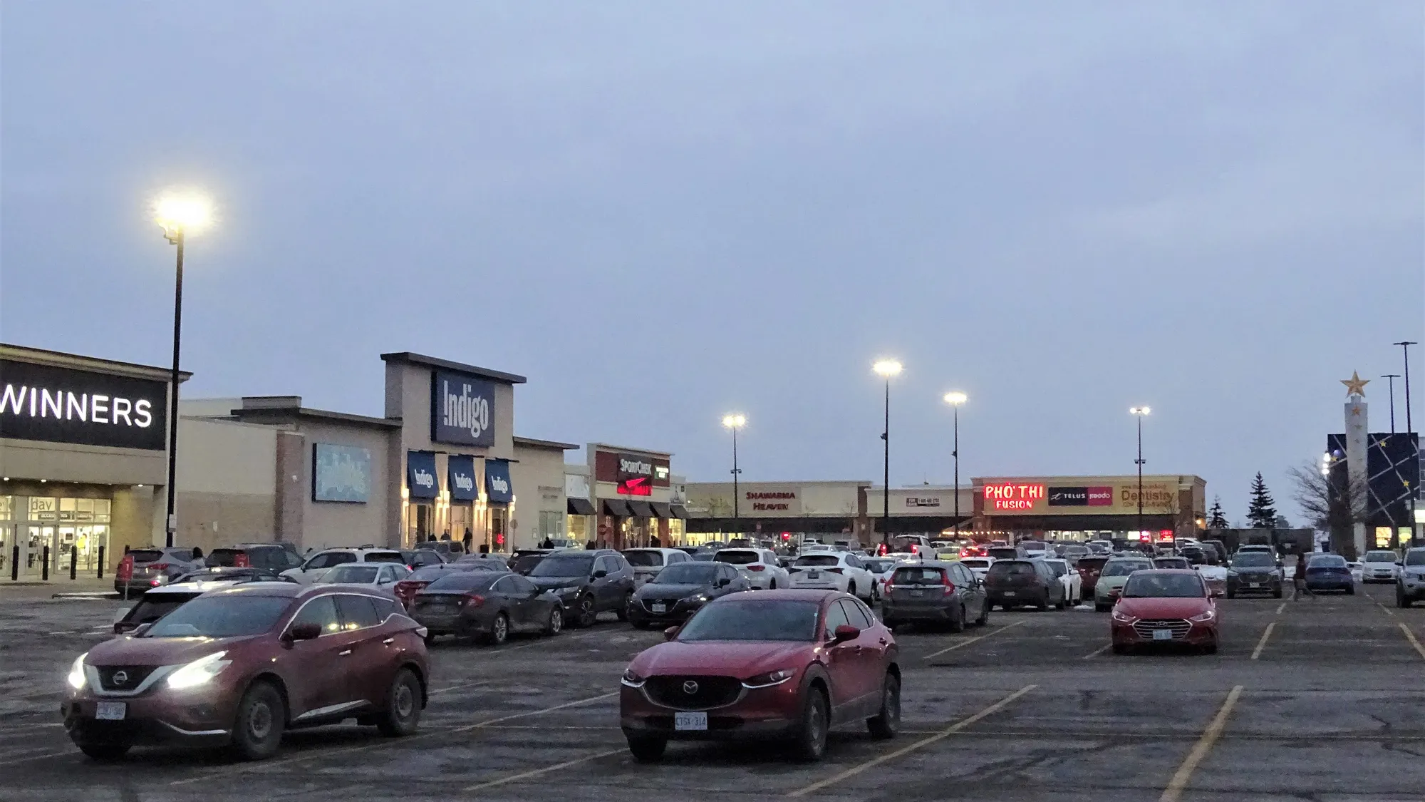
Chapman Mills had 12,075 residents and 3,755 private dwellings in the 2021 census. Population: 12,075 (2021).
Updated · Facts on this page link to their sources
About Chapman Mills
Chapman Mills had 12,075 residents and 3,755 private dwellings in the 2021 census. Its median age was 34.8, with 21.6% of residents aged 0 to 14 and an average household size of 3.2. It is in Ward 24 (Barrhaven East), per City of Ottawa ward data, October 2026. Limebank station, on O-Train Line 2, is 4.3 km away in a straight line, and Metro is the nearest listed supermarket at 0.6 km.
Boundaries
Ottawa Neighbourhood Study area Chapman Mills. ons-sqo.ca ons-sqo.ca
Homes
In the 2021 census, 48.0% of dwellings in Chapman Mills were single-detached and 40.1% were row houses. Apartments in buildings under five storeys were 7.3% and those in buildings of five or more storeys were 3.0%. Owner households were 72.0% and renter households 27.9%, and the median owner-estimated dwelling value was $650,000 (2021 census, via the Ottawa Neighbourhood Study). ons-sqo.ca
- Population 12,075 (2021 census)
- Median age 34.8 (2021)
- 72.0% owner households, 27.9% renter households (2021)
- Walk Score 49 and Bike Score 56, ONS neighbourhood averages
- Tree canopy coverage 18.6% (2024)
- Minto Recreation Complex is 2.1 km away, straight-line
How Chapman Mills came to be
- 2007
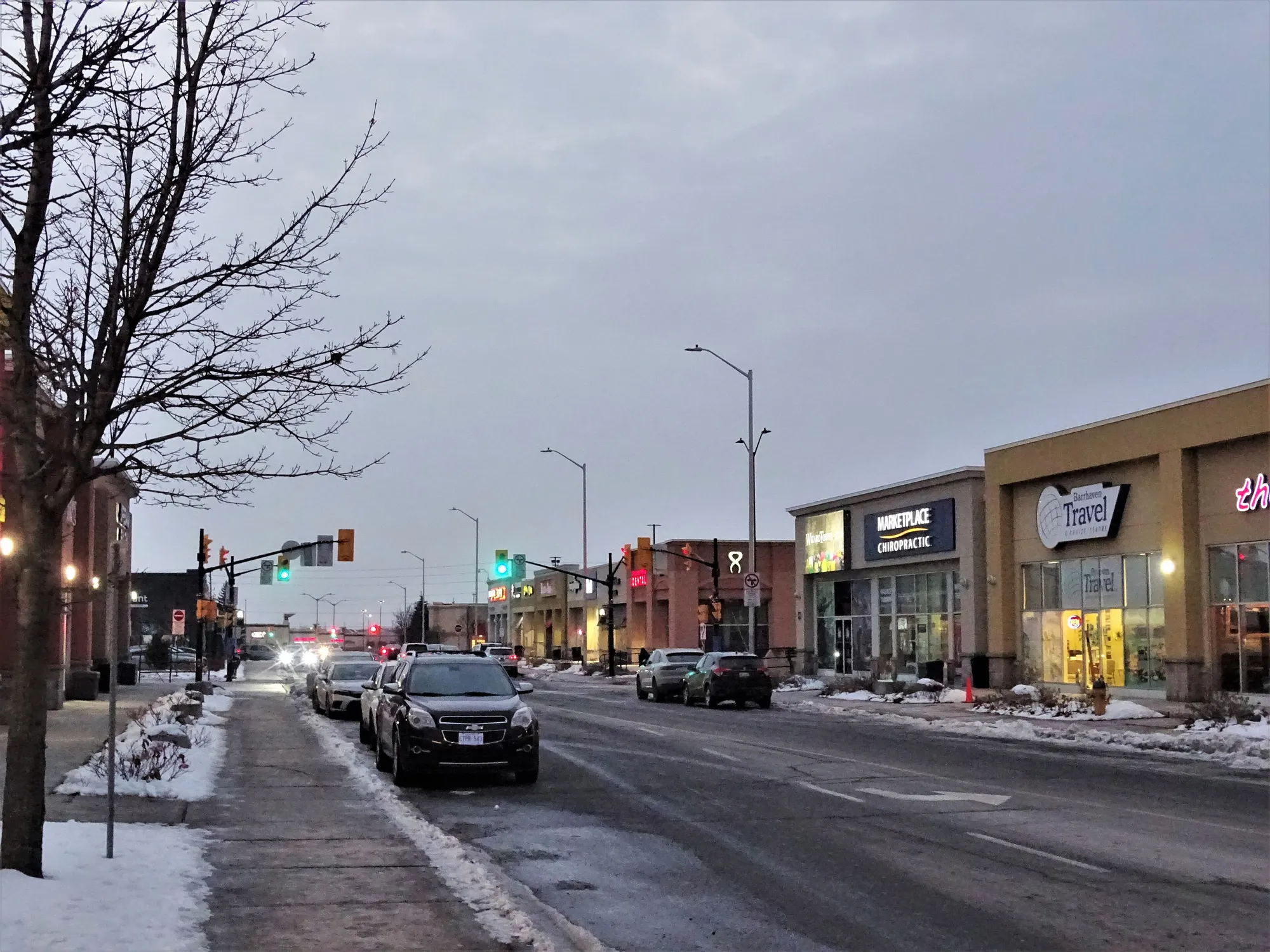
The Strandherd Transitway station and Park & Ride opened on January 2, 2007, directly across from the Chapman Mills Marketplace. en.wikipedia.org
- 2014
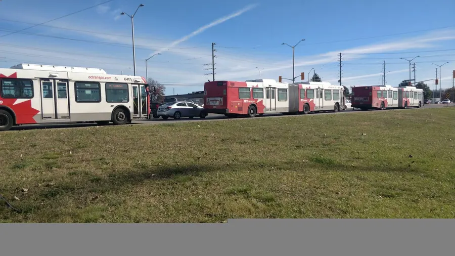
In September 2014 a bus rapid transit route was established on Chapman Mills Drive, using a median from the cancelled south-western LRT route. en.wikipedia.org
Around Chapman Mills
Walking rings at 5, 10 and 15 minutes from the neighbourhood centre.
Schools
5 nearbySt. Emily School
OCSB500 prom. Chapman Mills Drmaps.ottawa.ca ocsb.ca
440 m5 min walkChapman Mills Public School
OCDSB260 man Leamington Waymaps.ottawa.ca ocdsb.ca
830 m10 min walkJean-Robert-Gauthier Catholic Elementary School
CECCE651 prom Chapman Mills Drmaps.ottawa.ca ecolecatholique.ca
880 m11 min walkPierre-Savard Catholic Secondary School
CECCE1110 prom Longfields Drmaps.ottawa.ca ecolecatholique.ca
1.4 km17 min walkMonsignor Paul Baxter School
OCSB333 prom. Beatrice Dr.maps.ottawa.ca ocsb.ca
1.5 km18 min walk
Straight-line distances from the Chapman Mills centre. Living near a school does not guarantee a place: confirm the designated school for an address with each board. All schools and board locators.
Parks & places
10 nearbyOutdoor rink, Water Dragon Park
Outdoor rink (winter, weather permitting)
424 Chapman Mills Dr.maps.ottawa.ca ottawa.ca
340 m4 min walkWater Dragon Park
Active Recreation park
424 Chapman Mills Drive, Nepeanmaps.ottawa.ca
350 m4 min walkBerry Glen Park
Active Recreation park
36 Berry Glen Street, Nepeanmaps.ottawa.ca
610 m8 min walkChapman Mills East Woodlot
Passive Recreation park
370 Cresthaven Drive, Nepeanmaps.ottawa.ca
740 m9 min walkW.C. Levesque Fields
Active Recreation park · waterfront access
52 Riverstone Drive, Nepeanmaps.ottawa.ca
810 m10 min walkStonebridge Trail
Passive Recreation park · waterfront access
2436 Longfields Drivemaps.ottawa.ca
830 m10 min walkHeart's Desire Forest
Passive Recreation park
3566 Woodroffe Avenue, Nepeanmaps.ottawa.ca
970 m12 min walkSplash pad, Mancini Park
Splash pad (summer only)
110 Mancini Way, Nepeanmaps.ottawa.ca ottawa.ca
1.0 km13 min walkOutdoor rink, Grovehurst Park
Outdoor rink (winter, weather permitting)
100 Grovehurst Dr.maps.ottawa.ca ottawa.ca
1.1 km13 min walkChapman Mills West Woodlot
Passive Recreation park
225 Marketplace Avenue, Nepeanmaps.ottawa.ca
1.1 km14 min walk
Shops & dining
5 nearbyMetro
Supermarket
3201 Strandherd Driveopenstreetmap.org
610 m8 min walkShoppers Drug Mart
Pharmacy
3151 Strandherd Driveopenstreetmap.org
610 m8 min walkGuardian
Pharmacy
3091 Strandherd Driveopenstreetmap.org
800 m10 min walkFreshCo
Supermarket
350 Cresthaven Driveopenstreetmap.org
970 m12 min walkHealthmed
Pharmacy
150 Marketplace Avenueopenstreetmap.org
1.5 km18 min walk
Getting around
TransitO-Train
Limebank station is about 4.3 km away in a straight line (open; Line 2).
O-Train
Airport station is about 7.3 km away in a straight line (open; Line 4).
Transitway / bus
Fallowfield station is about 3.5 km away in a straight line (open).
Downtown
Parliament Hill is about 17.3 km away in a straight line.
For sale in Chapman Mills
No Chapman Mills homes on barrhaven.homes right now
Selling here? Get a website for your home, or browse every home for sale in the area.
Neighbouring areas

Quick answers
Short answers first; each links to the full answer and its sources.
Is Barrhaven walkable?
Barrhaven is mostly car-oriented, and walkability varies by area. The Ottawa Neighbourhood Study's average Walk Score is 54 in Old Barrhaven East, 49 in Chapman Mills, 27 in Old Barrhaven West and 12 in Stonebridge – Half Moon Bay.
As of 2026-10 · ons-sqo.ca ons-sqo.ca
What is Chapman Mills like?
Chapman Mills is a residential area of 12,075 people and 3,755 private dwellings (2021 census). Its median age was 34.8 and 27.9% of households rent, the highest renter share of the four areas, via the Ottawa Neighbourhood Study.
As of 2026-10 · ons-sqo.ca openstreetmap.org